Population Density & Geometry: Egypt
Place egypt-map.png in the same folder as this HTML file.
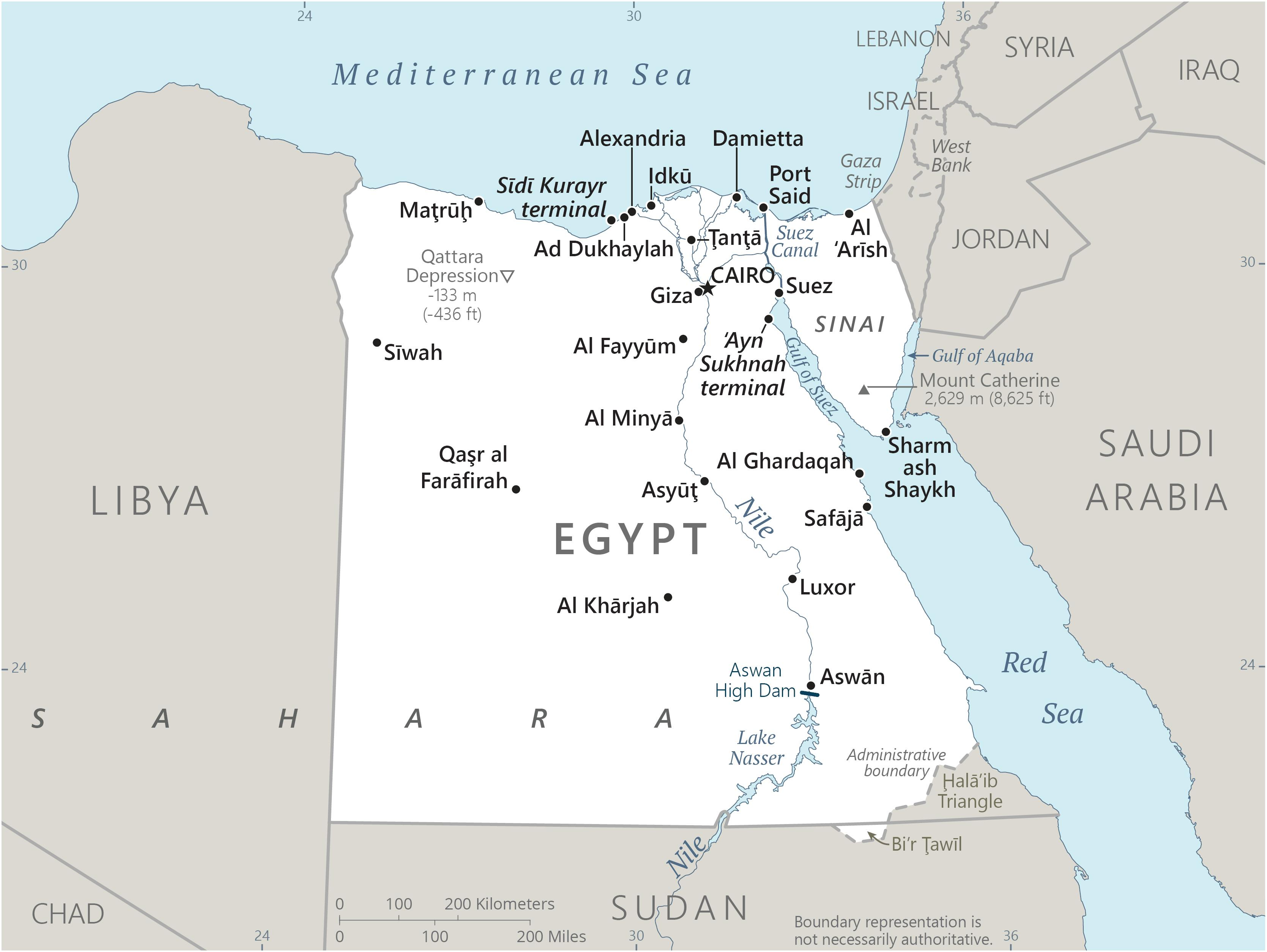
Map image = actual Egypt
Orange polygons = mainland and Sinai geometry
Blue line = Nile River
Required Math
Rectangle: A = l × w
Trapezoid: A = 1/2(b1 + b2)h
Composite area: add or subtract simpler shapes
Population Density = Population ÷ Land Area
Physiological Density = Population ÷ Arable Land
Area Calculations
Mainland composite ≈ (1,025 × 975) - 60,000 = 939,375 km²
Eastern strip ≈ (950 × 180) - (950 × 90) = 85,500 km²
Sinai trapezoid ≈ 1/2(250 + 150)(300) = 60,000 km²
Nile Delta ≈ 250 × 160 = 40,000 km²
Total modeled area ≈ 939,375 + 85,500 + 60,000 + 40,000 = 1,124,875 km²
The modeled area is slightly higher than the actual land area because the simplified polygons overestimate some borders and coastlines. The real land area is 1,001,450 km².
Population Density
Population ≈ 116,500,000; modeled land area ≈ 1,124,875 km²
Population density ≈ Population ÷ Area ≈ 116,500,000 ÷ 1,124,875 ≈ 104 people/km²
Because the modeled area is larger than the real land area, the modeled population density is slightly lower than the real value, which is about 115 people/km².
Physiological Density (Population ÷ Arable Land)
Arable land in Egypt ≈ 31,000 km² (converted from about 3,103,000 hectares; 1 hectare = 0.01 km²)
Population ≈ 116,500,000
Physiological density ≈ 116,500,000 ÷ 31,000 ≈ 3,750 people/km²
This shows the population pressure on usable farmland, which is much higher than overall population density because most of Egypt is desert.
Written Explanation
Egypt was chosen for this project because its population density is strongly influenced by its physical geography. Although Egypt has a very large total land area, most of the country is covered by desert, including the Sahara Desert and the Eastern Desert. These regions experience extremely hot temperatures, very low rainfall, and limited natural resources. Because of these harsh environmental conditions, it is difficult for large populations to settle in most parts of the country. As a result, Egypt’s population is not evenly distributed across its land.
The Nile River is the most important factor affecting population density in Egypt. It provides a consistent source of fresh water in an otherwise dry environment and supports agriculture through fertile soil found along its banks. This allows crops to be grown in areas that would otherwise be uninhabitable. Because of this, most people in Egypt live along the Nile Valley, which forms a narrow but highly populated region running from the south of the country to the north. This creates a strong contrast between densely populated areas near the river and sparsely populated desert regions.
The Nile Delta, located near the Mediterranean Sea, is another key area of high population density. As the river reaches the coast, it spreads out into multiple branches, creating a wide and fertile region. This area supports farming, transportation, and trade, making it ideal for large cities and economic activity. Major cities such as Cairo, Alexandria, and Port Said are located in or near the Nile Delta, and they attract large populations due to job opportunities, infrastructure, and access to resources.
Climate also plays a major role in determining where people live. The desert climate in most of Egypt limits settlement because of extreme heat and lack of water. In contrast, areas near the Nile have more favorable living conditions, including access to water, fertile land, and transportation routes. Overall, Egypt’s population density is closely connected to its geography and climate, showing how natural features influence where people live and how populations develop.
Sources
Map image source: Brilliant Maps, Map of Egypt, https://brilliantmaps.com/country-maps/map-of-egypt/
Population source: Worldometer, Egypt Population, based on United Nations World Population Prospects data, https://www.worldometers.info/world-population/egypt-population/
Population density source: World Bank, Population density - Egypt, https://data.worldbank.org/indicator/EN.POP.DNST?end=2023&locations=EG&start=2023&view=bar
Land area source: U.S. Department of State archive, Egypt area total 1,001,450 km², https://2009-2017.state.gov/outofdate/bgn/egypt/47448.htm
Arable land source: World Bank, Arable land (hectares) - Egypt, https://data.worldbank.org/indicator/AG.LND.ARBL.HA?locations=EG